Kenya is not a single landscape wearing different costumes. It is seven genuinely distinct worlds, each shaped by different geology, rainfall, culture and economy. Read the regions first and the country starts to make sense — the climate charts, the food, the cattle breeds, the dawn sounds.
The Regions at a Glance
Nairobi and the Central Highlands rise from the floor of the Rift Valley toward the equatorial peaks of Mount Kenya. The altitude moderates what should be tropical heat into something almost temperate: cool mornings, red-soil smallholdings, tea and coffee in terraced rows above two thousand metres. This is Kenya's most densely populated zone, home to the capital's five million and the market towns that supply them. Nairobi itself is its own world — a city with a national park on its doorstep and a tech scene the continent watches closely.
“Kenya is not a single landscape wearing different costumes. It is seven genuinely distinct worlds.”
The Rift Valley cuts clean across the country from north to south, a geological rupture some six thousand kilometres long that just happens to pass through Kenya's middle. The valley floor holds soda lakes stained pink by flamingos, hot springs, and extinct volcanoes rising from flat savannah. Nakuru, Naivasha, Baringo, Bogoria — each lake is a separate drama. The escarpment walls either side are some of the most spectacular earthwork in East Africa.
The Western Highlands and Lake Victoria Basin tilt the other way, draining west to the world's second-largest freshwater lake rather than east to the Indian Ocean. Sugar cane and tea dominate the hillsides around Kisii and Kericho. The lake shore itself — Kisumu is the main city — carries a distinct culture, economy and cuisine built around tilapia and Nile perch, fishing fleets and ferries. Rainfall here is generous and the land richly green.
The Coast is a world apart. The Indian Ocean has been trading with this shoreline for more than a thousand years, leaving behind coral-stone mosques, Swahili architecture, mangrove creeks and a language — Kiswahili — that became the whole country's lingua franca. From Lamu's UNESCO-listed old town to the beaches south of Mombasa, this is Kenya's most layered and historically complex region. The food shifts toward coconut milk and tamarind; the architecture tilts toward carved wooden doors and inner courtyards.
| The Northern Frontier | The Southern Savannahs | |
|---|---|---|
| The land | Semi-desert, sand luggas, volcanic mountains | Short-grass plains and acacia silhouettes |
| The herds | Camels outnumber cattle | Wildebeest on their endless loop |
| The water | Lake Turkana, the jade desert sea | The Mara River and its crossings |
| The feel | Distances are real distances | The Kenya the world pictures |
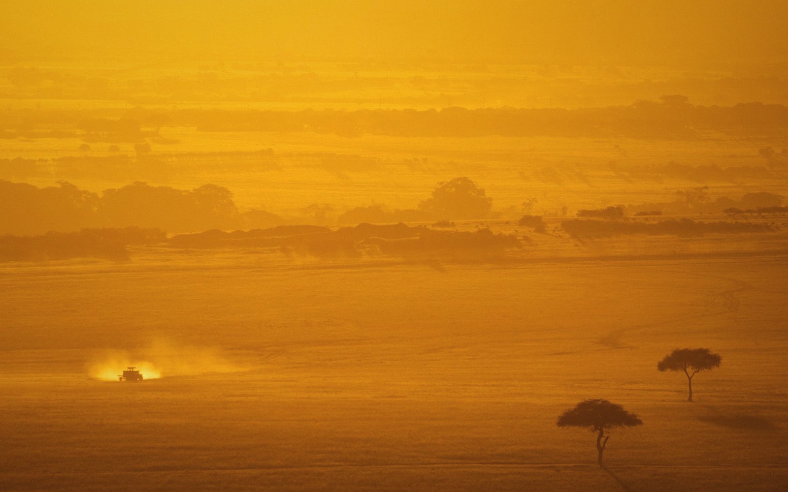
The Southern Savannahs are what most of the world pictures when it thinks of Kenya: vast short-grass plains, acacia silhouettes, the Maasai Mara rolling into the Serengeti without a fence. The wildebeest move through here on their endless loop; lions are reliably visible; Maasai pastoralists have managed these landscapes in complex relationship with wildlife for centuries. Amboseli sits in the south-east corner with its unobstructed view of Kilimanjaro, the mountain belonging to Tanzania but the view belonging to everyone.
The Northern Frontier is the least visited and the most arresting. Above a rough line from Maralal to Marsabit the country opens into semi-desert and true desert — sand luggas, doum palms, isolated volcanic mountains, and the jade slash of Lake Turkana, the world's largest desert lake. Camels outnumber cattle. Distances are real distances. The communities here — Samburu, Turkana, Borana, Rendille, Gabbra — live with landscapes and livestock traditions that have few parallels anywhere on the continent.
The Eastern Drylands occupy the large, often overlooked zone between the highlands and the coast. Tsavo — Kenya's biggest protected area — dominates the map, its red-dust elephants and lava flows unlike anywhere else in the country. The Kamba communities of Ukambani have farmed and traded in these semi-arid conditions for generations; the Taita Hills rise unexpectedly from the plains with their own micro-climate and endemic bird species.
Seven regions, but the borders bleed. The Rift Valley touches almost everything; the northern semi-desert leaks south further than most maps suggest; the coast's cultural influence travels inland along old caravan routes. Kenya rewards the traveller who resists the single-region trip — who couples a morning in the Mara with a Lamu afternoon, or follows the escarpment road north from Naivasha toward Turkana. The country does not resolve into one picture. That is exactly the point.
People & places in this pieceNairobi
Kenya's capital city, in the Central Highlands zone
Maasai Mara
wildlife reserve in the Southern Savannahs, contiguous with the Serengeti
Lake Turkana
world's largest desert lake, Northern Frontier
Lamu
UNESCO-listed Swahili old town on the northern coast