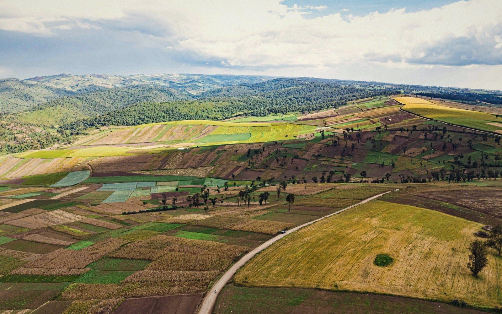
The Great Rift Valley is one of those phrases that gets worn smooth by repetition until it stops meaning anything. So start with the physics: East Africa sits above a zone where two tectonic plates are pulling apart at roughly the pace fingernails grow. The crust buckles, faults slip, the land between them drops. What you see driving north from Nairobi on the old Naivasha road — the sudden, vertiginous escarpment falling away on both sides as the highway tips downhill — is that process made visible. You are not crossing a landscape. You are reading a sentence the earth has been writing for around thirty million years.
In Kenya the Rift runs broadly north to south, entering from Ethiopia and exiting toward Tanzania, and it does not behave as a single trench. It is a system: a braided argument of fault lines, volcanic upwellings and subsidence zones. The floor averages somewhere between thirty and sixty kilometres wide in Kenya's section, but the escarpments that frame it can rise close to two thousand metres above the valley floor in places. Stand on the Kikuyu Escarpment west of Nairobi on a clear morning and the drop feels architectural.
“The valley is not finished. You are looking at a coastline that has not happened yet.”
Lakes, volcanoes and the valley floor
The Rift's most photogenic children are its lakes, and most of them are soda lakes — shallow, alkaline, chemically hostile to almost everything except the cyanobacteria that tint them pink and draw flamingos in numbers that beggar belief. Lake Nakuru, Lake Bogoria, Lake Elementaita sit in a rough chain through the central valley, each with its own personality: Bogoria hot and steaming, its geysers spitting at the shoreline; Elementaita low and still, favoured by pelicans and breeding greater flamingos; Nakuru protected inside a national park since 1961, ringed by fever trees and visited by both black and white rhinos. Lake Naivasha, fresher and reed-fringed, breaks the pattern — its papyrus beds shelter kingfishers, fish eagles and hippos, and its shores support one of Kenya's most intense horticultural belts.
Drive further north and the valley grows stranger. Lake Turkana, the world's largest permanent desert lake, fills a northern basin like something spilled on Mars: jade-green water, black lava shorelines, wind that arrives without warning. Its three islands — South, Central and North — hold Nile crocodile breeding populations and nesting birds; South Island is a national park, and the shoreline communities — Turkana, El Molo, Dassanech — have lived on and around this water for thousands of years. The archaeology beneath and around Turkana is extraordinary; hominid and early human fossil sites in the region have reshaped understanding of human evolution.
The valley floor is also volcanic country. Longonot, the near-perfect stratovolcano visible from the escarpment road, is young enough that its crater rim still looks freshly torn; hikers who make the full circuit find a caldera interior thick with forest and the smell of sulphur. Menengai, above Nakuru, holds one of the largest caldera depressions in Africa. Neither is dormant in any reassuring geological sense — they are simply quiet for now.
Why it shapes everything
The Rift is not just scenery. Its altitudinal range concentrates rainfall on the escarpment walls and starves the floor, producing climatic zones within a short distance of each other. Its soils — volcanic in origin across much of the central section — are some of Kenya's most fertile, which is why the highlands flanking the valley have supported dense farming communities for generations. Its lakes regulate migratory bird routes between the northern hemisphere and southern Africa. Its faults channel geothermal energy; the Olkaria fields near Naivasha generate a substantial share of Kenya's electricity from steam drawn out of the same restless geology.
None of this is background detail. The Rift made the altitude that made the long-distance runners. It made the lakes that made the flamingos. It made the escarpments that made the view. Kenya's landscapes do not merely sit inside the Rift Valley — in most of the ways that matter, they came from it.
People & places in this pieceLake Turkana
world's largest permanent desert lake; jade-green, alkaline, in northern Kenya
Olkaria
geothermal field near Lake Naivasha; major source of Kenya's electricity
Longonot
young stratovolcano near Naivasha; popular hiking destination
Menengai
large caldera above Nakuru; one of Africa's biggest